Karst Lakes of Ha Long
An environmental research project
Not a chapter — the record of the research
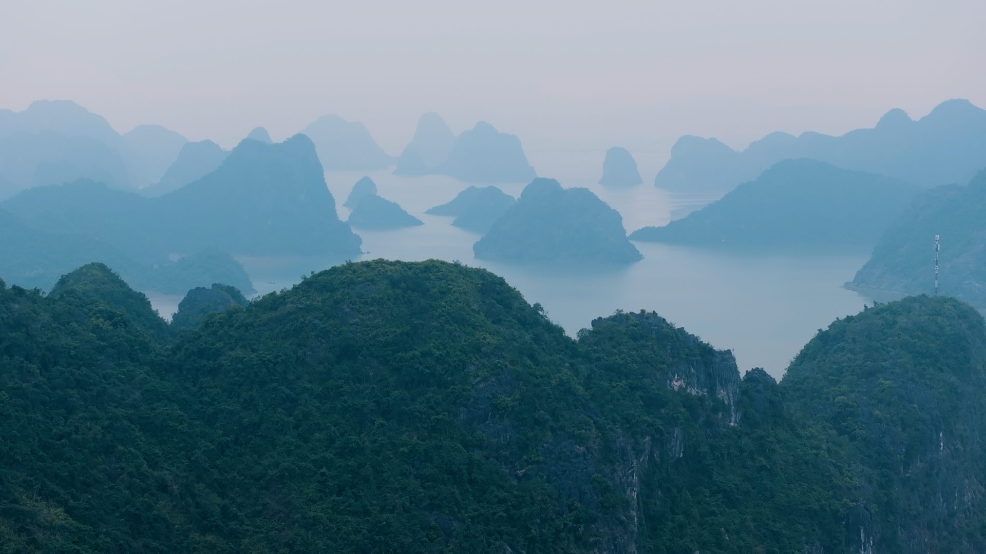
This film shares an archive with The Sealed Waters and a way of seeing. It does not share its purpose. It is the visual record of a research programme, and its scientific content is the subject rather than the frame.
Ha Long Bay, in the Gulf of Tonkin, is one of the largest karstic marine systems in Southeast Asia. Its limestone formations — shaped by millions of years of erosion and submersion — extend across more than 1,500 square kilometres, and fishing communities have occupied its channels and enclosed bays for centuries. The coastline between Hai Phong and Quang Ninh has changed substantially in twenty years. The programme compares conditions today against data from the early 2000s, across environments from open coastal water to the most enclosed spaces in the bay.
The enclosed karst lakes sit at the centre of the inquiry. Their sediments, organisms and water chemistry record changes that are invisible elsewhere in the bay, so establishing a baseline for these lakes means establishing a baseline for the bay. Within the limestone formations, they hold evidence of long-term ecological processes that surface environments do not preserve. Their study has only begun.
- The programme
- A field mission with scientists from the University of Genoa, Marche Polytechnic University and the Institute of Marine Environment and Resources (IMER), Haiphong
- Photography, direction and edit
- Andrea Pistolesi
- Runtime
- 5:09
- Location
- Ha Long Bay — Cat Ba Archipelago, Vietnam